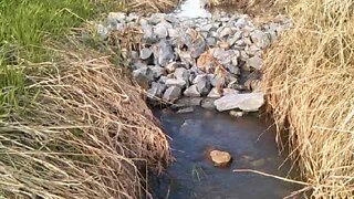
Southwest corner of Farm Property - Champlain Canal waterway Route 196 crossing
4 years ago
1
Champlain Canal Map. This water source (waterway) is listed:
http://www.canals.ny.gov/maps/
Explains the Details of Route 196 Water Problem. The Champlain Canal Waterway crossing of Route 196 flowing into Big Creek. Eventually under Route 43 into Champlain Canal North of Lock 9 & South of Route 149 Bridge.
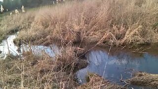
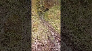
Series of short videos along the ditch from Pond to Route 196 and along South Property Border trail on April 16, 2020. There is a Playlist under Channel Playlist page.
Loading comments...
-
 2:23
2:23
HeavyMetalPedal
4 years agoRoute 196 Champlain Canal Waterway DRIVEWAY crossing problem rant... Red Pill version
9 -
 3:56
3:56
HeavyMetalPedal
4 years agoWATER meets the ROAD - Route 196 gets hit head on by Shine Hill & North Road WATERSHED!
1 -
 12:11
12:11
Woods Tree Farm
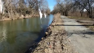
2 years agoInstalling Two Creek Crossings For Improved Access
4 -
 21:18
21:18
ExNewsnet
1 year agoShuswap River thru Grindrod, Sicamous, Enderby. Shuswap River at 12-foot mark in Enderby.
24 -
 5:23
5:23
Plymouth Ocean City Arts Culture Style Barbican And City And Beyond TV
4 months agoWalk up the River Plym Plymouth Devon Britain.
1 -
 5:15
5:15
trevmac1
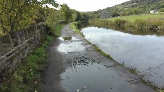
2 years agoWalk along the river Colne and Huddersfield narrow cannel
5 -
 10:22
10:22
trevmac1
1 year agoWalk along the Huddersfield Canal
13 -
 1:15
1:15
Edwardkosinski
2 years agoSoutheast Pennsylvania Schuylkill River canal
16 -
 0:23
0:23
4Crawler
1 year agoWaterfall springs from the side of Stevens Creek Canyon
8 -
 2:59
2:59
KMGH
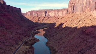
2 years ago'The lifeline of the West': The Colorado River's 1,400-mile journey, explained
24