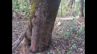
Grizzly Flat North Trail / Middle Road: 3rd Visit
Another stop on a bike ride to check out an old road I saw near the middle of the Grizzly Flat / North Trail in Upper Stevens Creek County Park. Main goal was to locate 2 features that show up on the hill shade map, one a steep area along the south side of Branch D that may have slid and taken out the old 1897 road. The other feature seems to be a steep gully beside the road that also runs down to Branch D. Way points at these 2 features helped in lining up the topo may over the hill shade map.
A few things to look for in upcoming visits are if the barbed wire fence is only along the road or if it runs in a straighter line between the curves in the road (i.e. a property boundary). Also, need to check for signs of old tree stumps or other signs of logging in the area. This road seems to have been built for decent sized trucks, judging by the large radius curves, but not sure of the purpose.
This road doesn't appear on any maps. It looks like it may been constructed around the same time as the Grizzly Flat road. Grizzly Flat North Road first appears on the 1961 USGS topo map.
There appear to be at least 3 roads that come together at the bottom of the Branch D canyon. 2 of them seem to be quite old based on their minimal construction. Then this road seems more modern in terms of wider radius turns and that it joins up to an existing road. But then the question is, what was this built road for? Were the 2 older roads in the canyon still in use when this road was built? If not, then why did this road go down to the same area that the 2 old roads seem to meet up in? Maybe this road was abandoned when the county acquired this land for the county park in 1965.
Hopefully can make it to the bottom and see if there's any sign of these old roads connecting as it appears on the hill shade map, I think I got within 100 yds/m of the bottom.
About the USGS HTMC:
https://www.usgs.gov/programs/national-geospatial-program/historical-topographic-maps-preserving-past
View/download maps on the TopoView site:
https://ngmdb.usgs.gov/topoview/
I used the 1897 Palo Alto quadrangle or the 1900 historical topo as listed in GaiaG:
https://www.gaiagps.com/
More to come...
Subscribe for more content like this
Comment, rate, share & click the bell icon
And as always, thanks for watching
#USGS #HillShade
-
 8:46
8:46
4Crawler
2 years agoGrizzly Flat North Trail / Middle Road: 2nd Visit
5 -
 6:59
6:59
4Crawler
2 years agoGrizzly Flat North Trail / What was this Middle Road built for?
52 -
 10:55
10:55
The Brown Family Workshop
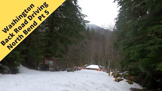
3 years agoBackroad Driving North Bend Washington pt 5
19 -
 10:46
10:46
The Brown Family Workshop
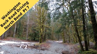
3 years agoBackroad Driving North Bend Washington pt 7
40 -
 8:34
8:34
Anything Outdoors with Steve
2 years agoHiking to Dry Creek Falls - Oregon
912 -
 8:51
8:51
The Brown Family Workshop
3 years agoBackroad Driving North Bend Washington pt 6
25 -
 0:38
0:38
HikingViking
9 months agoArriving @ GORGEOUS McNeil Point Trail Junction! | Timberline Mount Hood Wilderness | 4K | Oregon
322 -
 7:17
7:17
HikingViking
7 months agoHiking McNeil Point Trail with GORGEOUS Mount Hood Views! | Glisan Creek | Timberline | Mazama | 4K
61 -
 4:23
4:23
HikingViking
9 months agoAscending Mount Hood Wilderness & Why Mazama Trail is a GREAT JULY HIKE! | Timberline | 4K | Oregon
48 -
 4:48
4:48
HikingViking
9 months agoAscending Mazama Trail with GORGEOUS ALPINE FOREST MOUNT HOOD VIEWS! | Timberline Loop | 4K | Oregon
67