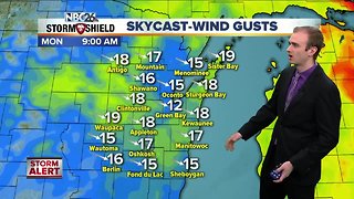
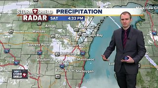
Gino Recchia NBC26 Storm Shield Weather Forecast
Thanksgiving this year was the coldest since 2014 where temperatures kept in the 20s with some light snowfall. Today we did not have the snow, but it did look like it was going to snow based on the gloomy sky cover. We are on the colder section of a developing warm front that is to our southwest. Temperatures will be warming in the next two days before a cool down return next week. Tonight, temperatures will hover around the upper 20s and lower 30s. Winds will be shifting out of the south around 5 to 10 mph as this warm front moves into the Badger State. Black Friday is right around the cover and for anyone who plans to head to the brick and mortar stores, you won’t have any weather problems during the day, a matter of fact, it will likely be the warmest day we have seen November 6th. Skies will be mostly cloudy to overcast for the day but we will not have any rain until very late Friday night. Scattered to widespread showers will move in overnight Friday into Saturday. As you wake up Saturday morning, it will likely be a gloomy and wet start. The storm system that brought the mild air Friday will now bring colder air to the area Saturday afternoon once the cold front moves through. Temperatures will be warm enough for all rain, however for anyone over North-Central and Northwest Wisconsin, you will see some snowfall accumulation, a few inches. By Saturday afternoon the rain showers will be exiting the area. After this storm, our attention quickly shifts over the Central Plains. A Colorado low (a storm system that develops over southern Colorado or Northern New Mexico) as we call it in the weather community can bring Northeast Wisconsin some significant winter weather. Since last Sunday we have been seeing day after day of the potential for the first significant snow storm somewhere in the Midwest. The risk is still there, but right now the location of the heavy snowfall is uncertain with a roughly 200 mile spread anywhere from Northern Illinois to Northeast Wisconsin. If we do see a snow storm, it would begin Sunday afternoon or evening and exit late Monday morning. More updates will follow as we get closer to this storm system.
-
 3:54
3:54
WGBA
5 years agoGino Recchia NBC26 Storm Shield Weather Forecast
9 -
 3:41
3:41
WGBA
5 years agoGino Recchia NBC26 Storm Shield Weather Forecast
6 -
 17:25
17:25
Great Lakes Weather
9 months agoSevere Weather Potential Next Week with a Possible Heat Wave To Come -Great Lakes Weather
34 -
 12:19
12:19
Great Lakes Weather
2 years agoMore Active Weather Ahead, Thunderstorms AND Snow in One Week -Great Lakes Weather
4 -
 18:00
18:00
Great Lakes Weather
9 months agoHEAT WAVE and Possible Severe Thunderstorms Through the Week -Great Lakes Weather
32 -
 2:16
2:16
Mohibbanchannels
3 months agoThundersnow Storm
251 -
 8:36
8:36
TiffanysContent
4 months agoDaily Weather Update: Snowstorm, Tornadoes, Thunderstorms, LIGHTNING, Heavy Rainfall, Black Ice, FOG
37 -
 10:47
10:47
NaturesFury
3 months agoHuge Snow Storm in USA now! Massive snow storm hit New York, Boston, and Philadelphia
32 -
 27:44
27:44
Legend813
1 year agoSevere Thunderstorm Warning NOAA Weather Radio Laporte Indiana Sunday June 20 2021
349 -
 0:32
0:32
Reuters
4 months agoMajor winter storm brings heavy snow to central US
1.34K1