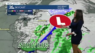
Brittney's NBC 26 weather forecast
2 years ago
4
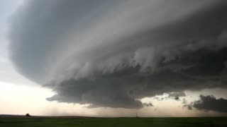
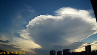
It all starts with the development of a thunderstorm and the water droplets/hailstones being suspended within the updraft. Sometimes an updraft is so strong it suspends large amounts of these droplets and hailstones in the upper portions of the thunderstorm. There are many factors that can lead to evaporational cooling (sinking air) and therefore weakening of the updraft. Once this occurs, it is no longer capable of holding the large core of rain/hail up in the thunderstorm. As a result, the core plummets to the ground. As it hits the ground it spreads out in all directions. The location in which the microburst first hits the ground experiences the highest winds and greatest damage.
Loading comments...
-
 2:48
2:48
WGBA
3 years agoBrittney's NBC 26 weather forecast
14 -
 3:49
3:49
WGBA
2 years agoBrittney's NBC 26 weather forecast
6 -
 3:23
3:23
ShadoVVision
1 year agoWeather on the 4’s
-
 4:46
4:46
SEVERE WEATHER
1 year agoweather
1 -
 2:19
2:19
Meteorology101
3 years agoTypes of Thunderstorms
399 -
 1:27
1:27
VISIGOTH 1
2 years agoBAD WEATHER BRUSLY LOUISIANA USA
9 -
 1:24
1:24
Earth Wind and Fire
2 months agoThunderstorm Types - Meteorology - Weather
2132 -
 9:20
9:20
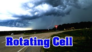
Amateur Storm Chasing
3 years ago $0.01 earnedRotating Cell Thunderstorm Missouri Severe
5321 -
 0:06
0:06
tone251978
2 years agoWeather
9 -
 2:20
2:20
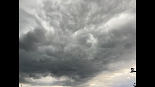
Weathernature
5 years agoGrowing thunderstorm front
29