

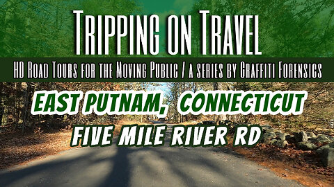
Tripping on Travel: East Putnam, Connecticut
As Wikipedia explains it, the Five Mile River is actually 23.5 miles long and is located in Connecticut's Northeast Corner and flows through the towns of Thompson, Putnam, and Killingly. It's original name leads us back to the Nipmuc indians, who called it Assawaga, meaning "place between" or "halfway place". Five Mile River has several dams related mostly to former mill operations and the harnessing of waterpower for industry.
Maleficus by Scott Buckley | https://soundcloud.com/scottbuckley
Music promoted by https://www.free-stock-music.com
Creative Commons / Attribution 4.0 International (CC BY 4.0)
https://creativecommons.org/licenses/by/4.0/
Maps of routes by Bing Maps. My only task was to trace my driving route from A (start) to B (end) to match the footage that follows it.
Other Graffiti Forensics channels and pages
http://www.youtube.com/c/GraffitiForensics
https://www.facebook.com/GForensics/
https://www.bitchute.com/channel/graffitiforensics/
6
views
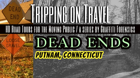
Tripping on Travel: Dead Ends, Putnam, Connecticut
The first dead end road I drive is Blood Rd in East Putnam, CT. I can tell you from experience that in my youth, the provocative name sparked my imagination about the horror movie plots that were so popular in the 1970s. Especially at night, and when Blood Rd in East Putnam was still a dirt road. It was an adolescent amusement at best. Blood Rd doesn't come to a dead end in the conventional sense. It ends as a road and becomes a private drive after crossing the Rhode Island state line. The second dead end road I visited is Nancy Dr in Putnam. It's so short, that my footage includes me looping back to the road's entrance. After the house on the right corner, is a very old cemetery named "Aspinwall Cemetery" that dates back more than three centuries. The names of the departed who were buried there is available online from a number of sources. It was rumored in the 1970s that the cemetery was haunted. When I was a school boy, I used it as a shortcut several times when I was walking about the neighborhood. I did look and listen for ghosts one night. I didn't experience anything but the creepiness of the old gravestones around me in the darkness. It was spooky.
Lurking Sloth by Alexander Nakarada | https://www.serpentsoundstudios.com
Music promoted by https://www.free-stock-music.com
Attribution 4.0 International (CC BY 4.0)
https://creativecommons.org/licenses/by/4.0/
The Streets Of Prague by Alexander Nakarada | https://www.serpentsoundstudios.com
Music promoted by https://www.free-stock-music.com
Attribution 4.0 International (CC BY 4.0)
https://creativecommons.org/licenses/by/4.0/
Maps of routes by Bing Maps. My only task was to trace my driving route from A (start) to B (end) to match the footage that follows it.
Other Graffiti Forensics channels and pages
http://www.youtube.com/c/GraffitiForensics
https://www.facebook.com/GForensics/
https://www.bitchute.com/channel/graffitiforensics/
6
views
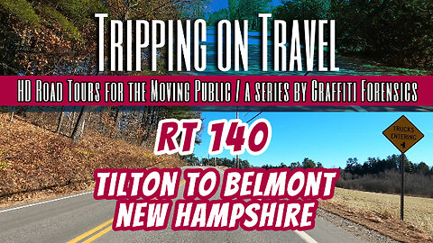
Tripping on Travel: Rt 140, Tilton to Belmont, New Hampshire
I was staying at the Holiday Inn in Tilton, NH, which is located on Rt 140. As I left Tilton heading east on 140, I entered the rural, less commercial setting of Belmont. Quite the contrast, as compared to the popular, commercial side of Tilton I left, where everything from Walmart to Taco Bell is located.
Neo-Noir by | e s c p | https://escp-music.bandcamp.com
Music promoted by https://www.free-stock-music.com
Attribution 4.0 International (CC BY 4.0)
https://creativecommons.org/licenses/by/4.0/
Maps of routes by Bing Maps. My only task was to trace my driving route from A (start) to B (end) to match the footage that follows it.
Other Graffiti Forensics channels and pages
http://www.youtube.com/c/GraffitiForensics
https://www.facebook.com/GForensics/
https://www.bitchute.com/channel/graffitiforensics/
18
views
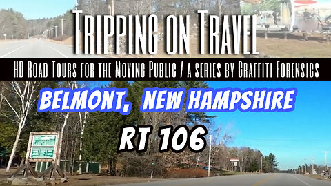
Tripping on Travel: Belmont, New Hampshire
Like many small towns of New England, Belmont, New Hampshire developed as a mill town because the water power of the river could be exploited by industry. And as such, Wikipedia credits the Gilmanton Village Manufacturing Company that was built in 1833. They made cotton and woolen textiles. The Wikipedia page also reflects that the town was incorporated on June 28, 1859 as Upper Gilmanton. The name Belmont was adopted in 1869 to honor August Belmont, a wealthy financier who began his first job as an apprentice to the Rothschild banking firm in Frankfurt, Germany. In fact, he made a career of helping the Rothschilds develop and sustain their financial interests internationally. One of the rewards of this, I would assume, was in 1844 when Belmont was appointed as Consul-General of the Austrian Empire at New York City, representing the Imperial Government's affairs in the major American financial and business capital. By 1852, he had become more deeply involved in New York politics and was acting as a campaign manager for Democrat candidate, James Buchanan, for the nomination of President of the United States. Buchanan was elected as the 15th president in 1857. And in 1860, August Belmont became the Chairman of the Democratic National Committee. As further years of political involvement between the Rothschild banker and the Democrat Party continued, Belmont allegedly did what he could in Europe to organize support for Lincoln's Union Army during the Civil War. Including trying to dissuade the Rothschilds and other French bankers from lending funds or credit for military purchases to the Confederacy. Belmont was allegedly enthusiastic about the Union's cause, as he portrayed himself as a "war Democrat". It was in the 1860s that Belmont's activities for the Democrat Party started to slip. Around 1862, he and another partner bought stock in the newspaper, the 'New York World', and they set out to make it a publication dedicated to advancing the interests of the Democrat Party. And in 1864, the Chicago Tribune reported that Belmont was buying up Southern bonds on behalf of the Rothschilds as their agent in New York because he backed the Southern cause.
Jökull (Metal Version) by Alexander Nakarada | https://www.serpentsoundstudios.com
Music promoted by https://www.free-stock-music.com
Attribution 4.0 International (CC BY 4.0)
https://creativecommons.org/licenses/by/4.0/
Maps of routes by Bing Maps. My only task was to trace my driving route from A (start) to B (end) to match the footage that follows it.
Other Graffiti Forensics channels and pages
http://www.youtube.com/c/GraffitiForensics
https://www.facebook.com/GForensics/
https://www.bitchute.com/channel/graffitiforensics/
27
views
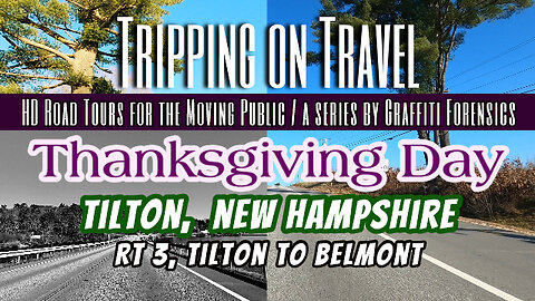
Tripping on Travel: Rt 3, Tilton, New Hampshire
Upon watching my Thanksgiving Day footage the first time with Scott Buckley's music in the background, the filmmaker inside me decided to take some artistic liberty to use effects to briefly modify a few, brief moments in the footage to better fit the impression the background music made on me as I watched it. The U.S. Census Bureau says Tilton, New Hampshire is a small town of only 11.9 square miles. As of 2020, it's population was reportedly only 3,962. It's roots trace back to 1869, when the southern portion of Sanbornton was set off and incorporated as Tilton, named in honor of Nathaniel Tilton (1726–1814), whose wealthy great-grandson, Charles E, was the owner of textile mills in the area and also the town's wealthiest citizen.
Decoherence by Scott Buckley | https://soundcloud.com/scottbuckley
Music promoted by https://www.free-stock-music.com
Attribution 4.0 International (CC BY 4.0)
https://creativecommons.org/licenses/by/4.0/
Maps of routes by Bing Maps. My only task was to trace my driving route from A (start) to B (end) to match the footage that follows it.
Other Graffiti Forensics channels and pages
http://www.youtube.com/c/GraffitiForensics
https://www.facebook.com/GForensics/
https://www.bitchute.com/channel/graffitiforensics/
15
views
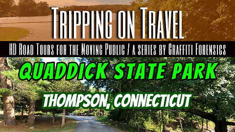
Tripping on Travel: Quaddick State Park, Thompson, CT
Be careful not to get confused. There is also a Quaddick State Park in East Lyme, Connecticut. This one is in Thompson, CT. This park was founded as a forest recreation center in a portion of Quaddick State Forest. It became a 118 acre State Park in 1951. Long before it's use for public recreation, the location had been the site of Thompson's town farm, also known as a government-run facility to support and house the poor and the elderly. The park remains under the administration of the Connecticut Department of Energy and Environmental Protection.
Cyber Thriller by | e s c p | https://escp-music.bandcamp.com
Music promoted by https://www.free-stock-music.com
Attribution 4.0 International (CC BY 4.0)
https://creativecommons.org/licenses/by/4.0/
Lazy Aftermoon by | e s c p | https://escp-music.bandcamp.com
Music promoted by https://www.free-stock-music.com
Attribution 4.0 International (CC BY 4.0)
https://creativecommons.org/licenses/by/4.0/
Maps of routes by Bing Maps. My only task was to trace my driving route from A (start) to B (end) to match the footage that follows it.
Other Graffiti Forensics channels and pages
http://www.youtube.com/c/GraffitiForensics
https://www.facebook.com/GForensics/
https://www.bitchute.com/channel/graffitiforensics/
1
view
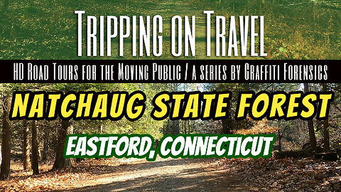
Tripping on Travel: Natchaug State Forest, Eastford, CT
According to Wikipedia, Natchaug is a Nipmuc Native American word meaning "land between the rivers". That said, the name of the forest does not mean the Nipmucs lived there. The Nipmuc or Nipmuck people are an Indigenous people of the Northeastern Woodlands, who historically spoke an Eastern Algonquian language. Their historic territory Nippenet, "the freshwater pond place," is in central Massachusetts and nearby parts of Connecticut and Rhode Island. As Connecticut's official government website puts it, the forest was established as a state forest in 1917, and contains the remains of American Civil War, and Union Army General, Nathaniel Lyon's birthplace. He was allegedly the first general killed in the American Civil War.
In the Zone, music by FSM Team for https://www.free-stock-music.com
Enhance by | e s c p | https://escp-music.bandcamp.com
Music promoted by https://www.free-stock-music.com
Attribution 4.0 International (CC BY 4.0)
https://creativecommons.org/licenses/by/4.0/
Maps of routes by Bing Maps. My only task was to trace my driving route from A (start) to B (end) to match the footage that follows it.
Other Graffiti Forensics channels and pages
http://www.youtube.com/c/GraffitiForensics
https://www.facebook.com/GForensics/
https://www.bitchute.com/channel/graffitiforensics/
3
views

Don't Give Jack a Ride
For Halloween of 2017, I produced this short video for my YouTube channel. None of it was my own footage. I was legally licensed to use a variety of video clips and audio/music from an online provider of stock footage and I found these clips of an individual on the side of the road hitchhiking, while wearing a jack-o-lantern pumpkin on his head, quite novel and entertaining. I was inspired to make this video by a scene from the original 1974 movie, The Texas Chainsaw Massacre, when the young people pick up a creepy hitchhiker who deliberately slices his hand open inside the vehicle.
Other Graffiti Forensics channels and pages
http://www.youtube.com/c/GraffitiForensics
https://www.facebook.com/GForensics/
https://www.bitchute.com/channel/graffitiforensics/
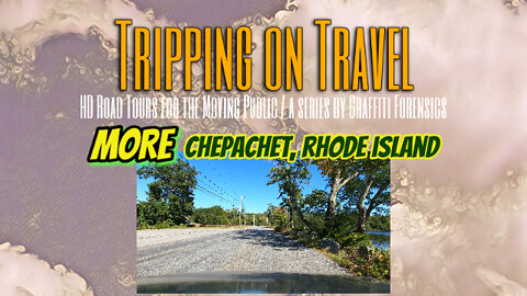
Tripping on Travel: MORE Chepachet, Rhode Island
One of the more interesting points in Chepachet's history is found through a plaque mounted on a bridge that crosses the Chepachet River on Rt 44, a 5.2 mile waterway with eight dams along the river's length. It's unusual in that it flows north through the Smith and Sayles Reservoir located just south of Chestnut Hill Rd. I pass the reservoir's north end in the second half of my driven route. The plaque regards the second of two elephants that were brought from India into the United States as circus attractions in the 1820s and were subsequently murdered. In 1826 that second elephant, nicknamed Little Bett, returned to Chepachet at only 12 years old while touring the east coast. It was ultimately ambushed and murdered by an organized group of six males with firearms who may have committed the killing over nothing more than a bet. They were arrested and prosecuted. The carcass of Little Bett, however, ended up at a local tannery and the elephant was skinned.
Wanderer by Alexander Nakarada | https://www.serpentsoundstudios.com
Music promoted by https://www.free-stock-music.com
Attribution 4.0 International (CC BY 4.0)
https://creativecommons.org/licenses/by/4.0/
Maps of routes by Bing Maps. My only task was to trace my driving route from A (start) to B (end) to match the footage that follows it.
Other Graffiti Forensics channels and pages
http://www.youtube.com/c/GraffitiForensics
https://www.facebook.com/GForensics/
https://www.bitchute.com/channel/graffitiforensics/
5
views
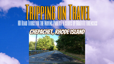
Tripping on Travel: Chepachet, Rhode Island
According to Wikipedia, On November 4, 1923, horror writer H. P. Lovecraft and fellow writer C. M. Eddy, Jr. visited Chepachet, Rhode Island in search of a place known as "Dark Swamp". They never located it, but the town was allegedly mentioned several times in Lovecraft's novella, "The Horror at Red Hook", about a sinister cult. To my surprise, the route map in this video displays a place called Dark Swamp east from where my footage ends on Rt 94 S, otherwise known as Reynolds Rd. I must say, that was one of the most poorly maintained roads I've ever seen. Drivers should expect a bumpy ride when using it. The camera won't show it but it's still apparent by looking at the road surface in the video footage. It needs a lot of repair.
Lost In Sargam by | e s c p | https://escp-music.bandcamp.com
Music promoted by https://www.free-stock-music.com
Attribution 4.0 International (CC BY 4.0)
https://creativecommons.org/licenses/by/4.0/
Maps of routes by Bing Maps. My only task was to trace my driving route from A (start) to B (end) to match the footage that follows it.
Other Graffiti Forensics channels and pages
http://www.youtube.com/c/GraffitiForensics
https://www.facebook.com/GForensics/
https://www.bitchute.com/channel/graffitiforensics/
2
views
1
comment
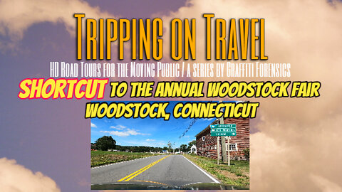
Tripping on Travel: Shortcut! To the Woodstock Fair, Woodstock, CT
The agricultural, Woodstock Fair has been a tradition in Woodstock, Connecticut for more than 150 years and is held annually on Labor Day weekend. In this episode, the day before the event in 2022 opens, my camera captures HD footage that follows a shortcut that begins from Rt 169 at the Rt 44 intersection in Pomfret, CT, and ends at Rt 171 in front of the fairgrounds in Woodstock. And to the other side of the fairgrounds where RVs and trailers were being parked.
Vopna by Alexander Nakarada | https://www.serpentsoundstudios.com
Music promoted by https://www.free-stock-music.com
Attribution 4.0 International (CC BY 4.0)
https://creativecommons.org/licenses/by/4.0/
Maps of routes by Bing Maps. My only task was to trace my driving route from A (start) to B (end) to match the footage that follows it.
Other Graffiti Forensics channels and pages
http://www.youtube.com/c/GraffitiForensics
https://www.facebook.com/GForensics/
https://www.bitchute.com/channel/graffitiforensics/
2
views
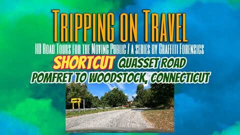
Tripping on Travel: Shortcut! Quasset Rd, Pomfret to Woodstock, CT
Quasset Rd is a shortcut between Rt 97/44 in Pomfret, CT and Rt 171 in Woodstock, CT. The road itself is at least as old as the 1856 map of Windham County that clearly shows it, albeit without a name on it.
The Fury by Scott Buckley | https://soundcloud.com/scottbuckley
Music promoted by https://www.free-stock-music.com
Attribution 4.0 International (CC BY 4.0)
https://creativecommons.org/licenses/by/4.0/
Maps of routes by Bing Maps. My only task was to trace my driving route from A (start) to B (end) to match the footage that follows it.
Other Graffiti Forensics channels and pages
http://www.youtube.com/c/GraffitiForensics
https://www.facebook.com/GForensics/
https://www.bitchute.com/channel/graffitiforensics/
2
views
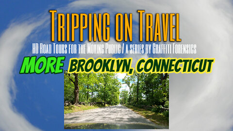
Tripping on Travel: More Brooklyn, Connecticut
Church St in Brooklyn, Connecticut, as one might expect, is named after a church on it. The historic record tells us this is the old Trinity Church, built in 1771. The property was entered into the National Register of Historic Places 200 years later in 1970. The registry document states that ever since the 100th anniversary of the church, there has been a service at the church on All Saints' Day, inaccurately known today as a spooky Halloween event. It also has marked grave sites on both sides of the church. As time would have it, some locals who grew up in the 1970s were hearing rumors that devil worshippers were gathering there on Halloween, and the young locals would visit the property as amateur ghost hunters or for entertainment. The macabre atmosphere was exacerbated by the historic grave sites that still remain on both sides of the church. And following the murders committed in the 1980s by Connecticut serial killer, Michael Ross, who grew up on a farm in Brooklyn, a rumor began circulating that he left the remains of two of his victims in a pond behind the church. However, none of the listed locations at which the bodies of his victims were discovered include the church property. This video ends at Brooklyn's monument and tomb of American Revolutionary War hero, General Israel Putnam, which was dedicated in his honor in 1888.
The church's 1970 National Register of Historic Places document
https://npgallery.nps.gov/NRHP/GetAsset/NRHP/70000703_text
Rhastafarian by Audionautix | http://audionautix.com
Music promoted by https://www.free-stock-music.com
Attribution 4.0 International (CC BY 4.0)
https://creativecommons.org/licenses/by/4.0/
Maps of routes by Bing Maps. My only task was to trace my driving route from A (start) to B (end) to match the footage that follows it.
Other Graffiti Forensics channels and pages
http://www.youtube.com/c/GraffitiForensics
https://www.facebook.com/GForensics/
https://www.bitchute.com/channel/graffitiforensics/
28
views
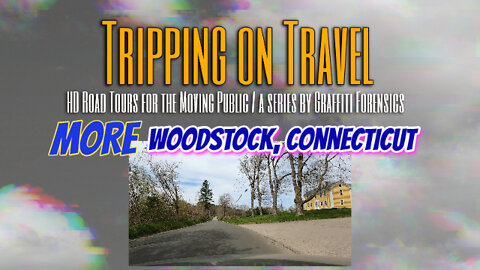
Tripping on Travel: More Woodstock, Connecticut
Some time around the mid-1600s, an English Protestant missionary to the native tribes of the new continent began establishing "praying towns" where natives adopted Christianity and would renounce their tribal ceremonies and customs. One praying town became what is now known as Woodstock. During King Philip's War, it was in 1676 that this praying town, having been deserted, was trounced by the English and their native allies who marched through modern day Woodstock, allegedly burning stored corn and other crops that were left behind. Ten years later In 1686, a group of thirteen men from the hometown of the original Protestant missionary who established the area as a "praying town", settled there and named it New Roxbury. It's name was changed in the late 17th century in recognition of Woodstock in England.
Music, titled "Jasper", is used with permission by the copyright owner, Richard Gott.
Maps of routes by Bing Maps. My only task was to trace my driving route from A (start) to B (end) to match the footage that follows it.
Other Graffiti Forensics channels and pages
http://www.youtube.com/c/GraffitiForensics
https://www.facebook.com/GForensics/
https://www.bitchute.com/channel/graffitiforensics/
12
views
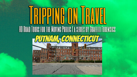
Tripping on Travel: Putnam, Connecticut
By 1855, Putnam, Connecticut was pieced together and incorporated from portions of Pomfret, Thompson and Killingly. It was named in honor of Revolutionary War hero, General Israel Putnam. It's growth stemmed from the Quinebaug River, of which grist, saw and several cotton mills operated in the county. Textile mills arrived and became one of the chief manufacturering employers for several years in that corner of the state. Fast forward 100 years from Putnam's inception in 1855, and we arrive at the destructive 1955 flood that lead to Putnam and other small towns having to rebuild.
Borgar (2019, 135 BPM) by Alexander Nakarada | https://www.serpentsoundstudios.com
Music promoted by https://www.free-stock-music.com
Attribution 4.0 International (CC BY 4.0)
https://creativecommons.org/licenses/by/4.0/
Maps of routes by Bing Maps. My only task was to trace my driving route from A (start) to B (end) to match the footage that follows it.
Other Graffiti Forensics channels and pages
http://www.youtube.com/c/GraffitiForensics
https://www.facebook.com/GForensics/
https://www.bitchute.com/channel/graffitiforensics/
7
views
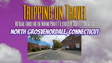
Tripping on Travel: North Grosvenordale, Connecticut
Wikipedia tells us that following the end of the American Civil War, an investor-developer from Providence, Rhode Island named William Grosvenor purchased a small textile mill and associated water privileges. He purchased another mill south of there, where he built a large mill in 1868. He built another large brick mill in 1872, and renamed the village of Grosvenordale to North Grosvenordale. He had housing built for his workers on both sides of the French River. North Grosvenordale's origin is as an old mill town.
Music by ZaharValaha from Pixabay
Maps of routes by Bing Maps. My only task was to trace my driving route from A (start) to B (end) to match the footage that follows it.
Other Graffiti Forensics channels and pages
http://www.youtube.com/c/GraffitiForensics
https://www.facebook.com/GForensics/
https://www.bitchute.com/channel/graffitiforensics/
4
views
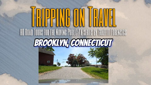
Tripping on Travel: Brooklyn, Connecticut
Although originally settled in the early 1700's, Brooklyn, Connecticut was incorporated as a town in 1786. The route I drove for this video takes viewers through the Bush Hill Historic District, where many farmhouses and agricultural outbuildings date back to the 1800's and earlier.
Music by Amurich from Pixabay
Maps of routes by Bing Maps. My only task was to trace my driving route from A (start) to B (end) to match the footage that follows it.
Other Graffiti Forensics channels and pages
http://www.youtube.com/c/GraffitiForensics
https://www.facebook.com/GForensics/
https://www.bitchute.com/channel/graffitiforensics/
3
views

REAL LIFE Perimeter of a Feline Hunter
After observing one of the local cats known for hunting follow this same perimeter, twice, I thought it would be entertaining for viewers to see the path of that perimeter closer to the ground. It is, indeed, a real life perimeter of a feline hunter. I used a GoPro 8 held close to the ground by an extended pole to capture the footage.
Music by Lesfm from Pixabay
Other Graffiti Forensics channels and pages
http://www.youtube.com/c/GraffitiForensics
https://www.facebook.com/GForensics/
https://www.bitchute.com/channel/graffitiforensics/
4
views
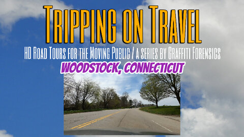
Tripping on Travel: Woodstock, Connecticut
There is much to explore in Woodstock, CT. Here we begin by entering Woodstock on Rt 171 and proceeding onto Roseland Park Rd. As always, I used a GoPro 8 mounted to the outside of my vehicle.
Music by madIRFAN from Pixabay
Maps of routes by Bing Maps. My only task was to trace my driving route from A (start) to B (end) to match the footage that follows it.
Other Graffiti Forensics channels and pages
http://www.youtube.com/c/GraffitiForensics
https://www.facebook.com/GForensics/
https://www.bitchute.com/channel/graffitiforensics/
8
views
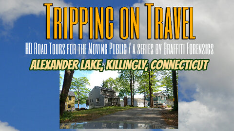
Tripping on Travel: Alexander Lake, Killingly, Connecticut
Alexander Lake has been pretty well preserved since the construction several years ago of a Frito-Lay manufacturing facility across from the north end of the lake. I recorded the footage of N Shore Rd, that runs on the northwest side of the lake, on May 25th, 2022. As always, I used a GoPro 8 mounted to the outside of my vehicle.
Music by Azinity Music from Pixabay
Maps of routes by Bing Maps. My only task was to trace my driving route from A (start) to B (end) to match the footage that follows it.
Other Graffiti Forensics channels and pages:
http://www.youtube.com/c/GraffitiForensics
https://www.facebook.com/GForensics/
https://www.bitchute.com/channel/graffitiforensics/
3
views
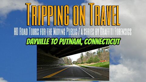
Tripping on Travel: Dayville to Putnam, Connecticut
There is a back route between Dayville and Putnam, CT. This video takes viewers on a road tour of Tracy Rd in Dayville to Park Rd and Kennedy Dr of Putnam, CT. The footage was recorded on May 8, 2022 using a GoPro 8 mounted to the outside of my vehicle.
Music by Musicalmix2020 of Pixabay
Maps of routes by Bing Maps. My only task was to trace my driving route from A (start) to B (end) to match the footage that follows it.
Other Graffiti Forensics channels ...
http://www.youtube.com/c/GraffitiForensics
https://www.facebook.com/GForensics/
https://www.bitchute.com/channel/graffitiforensics/
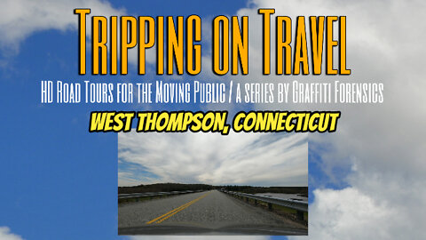
Tripping on Travel: West Thompson, Connecticut
Looking to move to Connecticut but haven't seen the neighborhood? This video takes viewers on a road tour of Reardon Rd and W Thompson Rd in West Thompson, CT. The footage was recorded on May 8, 2022 using a GoPro 8 mounted to the outside of my vehicle.
Music by NaturesEye of Pixabay
Maps of routes by Bing Maps. My only task was to trace my driving route from A (start) to B (end) to match the footage that follows it.
http://www.youtube.com/c/GraffitiForensics
https://www.facebook.com/GForensics/
https://www.bitchute.com/channel/graffitiforensics/
4
views

Little Ball of Mingus
This cutie is part Maine Coon Cat and part Siamese.
Whisper3 by PeriTune | http://peritune.com
Music promoted by https://www.free-stock-music.com
Attribution 4.0 International (CC BY 4.0)
https://creativecommons.org/licenses/by/4.0/
Lazy Evening by FSM Team | https://www.free-stock-music.com/artist.fsm-team.html
Music promoted by https://www.free-stock-music.com
Attribution 4.0 International (CC BY 4.0)
https://creativecommons.org/licenses/by/4.0/
Deep Valley2 by PeriTune | http://peritune.com
Music promoted by https://www.free-stock-music.com
Attribution 4.0 International (CC BY 4.0)
https://creativecommons.org/licenses/by/4.0/
NoWay3 by PeriTune | http://peritune.com
Music promoted by https://www.free-stock-music.com
Attribution 4.0 International (CC BY 4.0)
https://creativecommons.org/licenses/by/4.0
Other Graffiti Forensics channels and pages
http://www.youtube.com/c/GraffitiForensics
https://www.facebook.com/GForensics/
https://twitter.com/Graffiti_Forens
https://www.bitchute.com/channel/graffitiforensics/
6
views

The Internet: Virginia 2nd Amendment Rally (Jan 20, 2020)
On the day of this rally I was watching live streams from the scene of the event on the internet and I recorded the action as I watched it through my widescreen PC monitor and my internet browser. This video was initially uploaded to my YT channel and if my memory is correct, they eventually deleted it. Many of the live stream channels during that time were facing censorship purges and were being shut down. Freelance journalists trying to create more exposure for these channels with their own streams were admonished and banned, and forced to other platforms. The Qanon folks were very active at the time online. The content in this video regarding that is not meant to mislead viewers. I was never an anon and I am not promoting them. I disagree with too many of their statements.
Breitbart and Ruptly live coverage is featured most in this production.
Song "Moving On" by Sarah LaPalme and Richard Gott
http://www.youtube.com/c/GraffitiForensics
https://www.facebook.com/GForensics/
https://twitter.com/Graffiti_Forens
https://www.bitchute.com/channel/graffitiforensics/
8
views

Bowie the Gecko
A Leopard Gecko in New Hampshire, in his own words.
Lurking Sloth by Alexander Nakarada | https://www.serpentsoundstudios.com
Music promoted by https://www.free-stock-music.com
Attribution 4.0 International (CC BY 4.0)
https://creativecommons.org/licenses/by/4.0
http://www.youtube.com/c/GraffitiForensics
https://www.facebook.com/GForensics/
https://twitter.com/Graffiti_Forens
https://www.bitchute.com/channel/graffitiforensics/
3
views